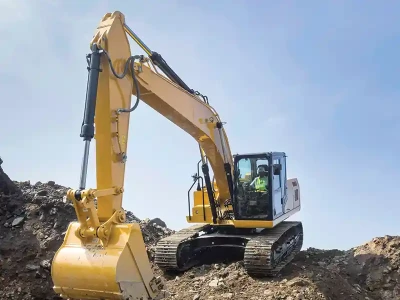
L. N. Malviya Infra Projects: Using LiDAR Drones for Accurate 3D Mapping
Using LiDar in drones is now one of the best options for collecting data for accurate 3D mapping, surveying and inspecting greenfield, powerlines, forestry and mining.
Dr. L. N. Malviya - Chairman & MD, L. N. Malviya Infra Projects

LiDar refers to light detection and range using laser pulses to create high resolution 3D maps of terrains and structures from a height, for example, for topographic mapping, forestry, and urban planning. Using LiDar in drones is now one of the best options for collecting data for accurate 3D mapping. Today, its use has become common and due to greater research in the field of LiDar technology and use of smaller LiDar sensors, costs have also come down.
LiDar in drones can cover a lot of ground in a comparatively shorter duration to provide precise data. However, LiDar drones rely on a lot of hardware and software to deliver high quality results. One needs to understand the working of a LiDar drone system and its suitability in the required project area. A LiDar scanner actively sends out light pulses in hundreds per square meter, captures them and records how fast they return to the sensor.
There are 3 critical components of LiDar drone sensors:
- LiDar Laser Scanner which is responsible for sending and receiving light pulses.
- Inertial Measurement unit that measures the force and rate of movement of sensor.
- GNSS unit (Global Navigation Satellite System) that ties the information to the actual geo-locations on ground.

Laser Scanner
Given below are certain key factors that govern the quality of the output:- Wavelength and Power: A high-quality laser scanner will procure a stable and precise wavelength at a higher power so that the range is longer and will be effective in adverse conditions like fog, rain or bright sunlight. On the other hand, a lower quality scanner has a less stable wavelength and less power, hence its performance is less dependable.
- Beam Divergence: If the beam divergence is lower over a distance, it is better, whereas if it is high divergence, the performance of the scanner will be lower.
- Pulse Repetition Frequency: The laser scanner which sends and receives more pulses in a given time frame will be better and will result in higher resolution.
- Quality of Receiver: It is key whether the sensors can pick up weaker returns from a greater height above the ground and amidst more vegetation.
- Scanning Mechanism: It involves solid state technology that operates consistently with many repetitions when it is high quality, while fewer quality may produce inferior quality coverage.
- Calibration: It is key to the success of any scanner. Regular calibration is important for consistent performance of scanner.
Inertial Measurement Unit (IMU)
A better quality IMU will produce good performance and less work will be needed to correct the data obtained through the LiDar sensor. To assess the quality, the following 4 factors need to be considered:- High quality IMU measures angular rates with accuracy due to its superior technology and advanced calibration processes, while a lower quality IMU will result in more drift and inaccuracies.
- Better IMUs are equipped with advanced gyroscopes and accelerometers which provide better output while the lower quality IMUs are susceptible to temperature changes, resulting in poor performance.
- Rates of sampling directly related to the quality.
- Noise filtering.
GNSS Receiver
It plays an important role in determining the position of drones relative to the earth. There are five factors that differentiate a high quality GNSS receiver from a lower quality in drones.- The accuracy and precision of GNSS receiver.
- Signal acquisition is faster in high quality receivers.
- Technology to minimize interference and signal jamming.
- Position update rate is higher in better quality receivers.
- All components need to function normally in robust and durable environments such as humidity, vibration and extreme temperatures.
Uses of LiDar Drones
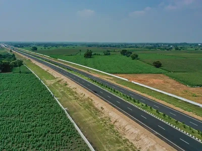
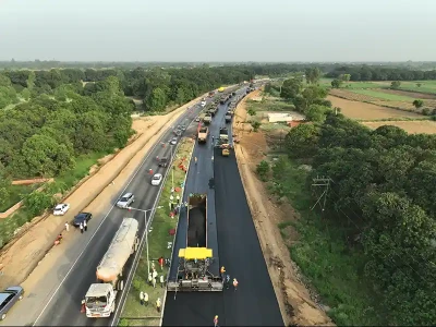
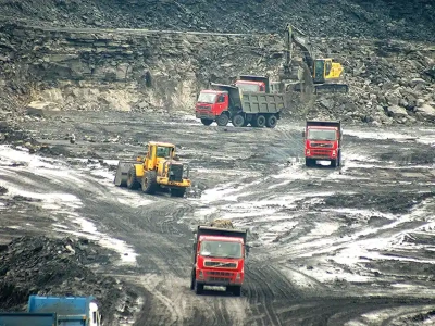
LiDar drones can be used for surveying and inspecting greenfield, powerlines, forestry and mining but we use it for execution of surveys during preparation of Detailed Project Reports (DPRs) of highway projects.Limitations
- LiDar drones cannot work effectively in dense forests.
- They cannot give satisfactory output if a detailed orthomosaic with high resolution looks at the ground and features in certain areas.
Cost
As the LiDar Drone technology has advanced, the cost of LiDar drones has come down drastically and the time needed for working with them has also come down. The ability to capture precise data is also key to their success, which has considerably curtailed the cost of surveying.
Published on:
11 July 2024
Published in: NBM&CW - July 2024
Share:
We Value Your Comment