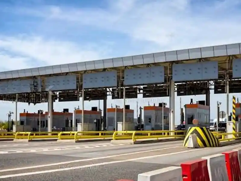
MoRTH Deploys AI-Powered Network Survey Vehicles for National Highway Monitoring
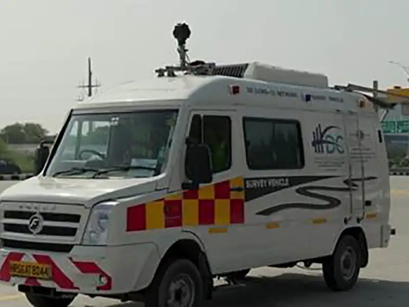
The high-tech vehicles use laser profilers, GPS systems, high-resolution cameras and 3D imaging technology to scan road surfaces, creating detailed digital maps and identifying defects such as potholes, cracks, patches and uneven pavement conditions. The initiative aims to improve road quality, safety and maintenance efficiency across the national highway network.
The deployment marks a significant technological upgrade in highway asset management. While conventional surveys could cover only 20-80 km per day, the new NSVs can survey up to 300 km daily, enabling faster detection of road defects and quicker corrective action.
Survey data collected by the vehicles is encrypted and transmitted to a centralised NSV monitoring centre within 48 hours. Expert teams analyse the data and convert it into actionable maintenance reports within 10 days, a process that previously took up to six months.
The system is integrated with the National Highways Authority of India’s AI-based Data Lake platform, allowing real-time analysis and evidence-based maintenance decisions. Survey findings are digitally shared with stakeholders, ensuring transparency and reducing manual intervention.
To enhance accountability, a dedicated mobile application enables site inspectors to access survey findings in real time, upload geo-tagged photographs, monitor repairs and track defect rectification on-site.
The surveys will be conducted every six months across two-lane to eight-lane National Highways, covering diverse terrains and traffic conditions. Unlike previous monitoring systems, the new framework ensures that maintenance agencies remain accountable until all identified defects are fully rectified.
The initiative is expected to improve road safety, strengthen highway asset management and deliver smoother, safer and more reliable journeys for millions of commuters across India.
Published on:
12 June 2026
Share:
We Value Your Comment