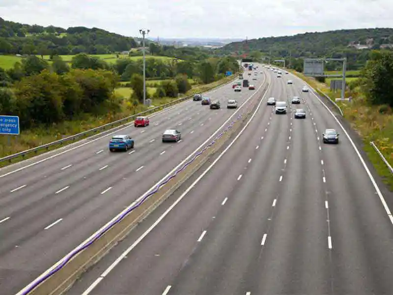

The NH-GCI uses satellite-based technology to measure vegetation cover within the Right of Way (RoW) along national highways. The index is derived from chlorophyll levels detected through high-resolution satellite sensors and is expressed as a percentage representing the extent of green cover along both sides of highways at a one-kilometre interval.
The first assessment covers around 30,000 km of national highways across 24 states for the period July to December 2024. Future annual assessments will track year-on-year changes in green cover to support improved plantation management and sustainability initiatives.
The initiative is being implemented under a three-year Memorandum of Understanding signed in January 2024 between NHAI and NRSC. The report aims to enable data-driven monitoring, comparison and targeted interventions to enhance green cover along India’s highway network.