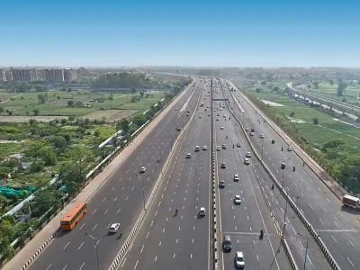
Chennai to Use AI and Drones to Map Roads, Remove Encroachments

In an effort to restore original road widths and improve infrastructure, the Greater Chennai Corporation (GCC) will map 408 km of city roads using drones and GoPro cameras.
GCC has engaged RoadMetrics, an AI mapping firm, to conduct the survey. The AI-driven assessment will compare current road dimensions with official records to identify encroachments and evaluate road damage, broken pavements, faulty streetlights, and disconnected medians.
While quick fixes like removing encroachments and pavement repairs will be taken up immediately, major road relaying projects will follow based on the survey findings.
Published on:
11 March 2025
Share:
We Value Your Comment