Role of LiDAR Technology and Digital Twins For Smart Cities and Mega Infrastructure Life Cycle Management
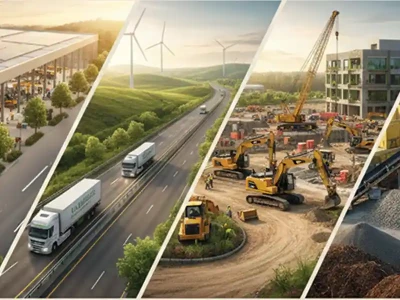
As smart cities and mega infrastructure projects grow in complexity, the integration of LiDAR technology and Digital Twins is transforming infrastructure planning, monitoring, and lifecycle management. Through case studies covering flood modelling, tunnel deformation, landfill monitoring, mining assessments, and urban tax management, Dr. Sandeep Shirkhedkar, Director, imaGIS Engineering Solutions, highlights how high-precision spatial intelligence is enabling predictive, data-driven decision-making for safer, more resilient, and sustainable infrastructure across India.

Introduction
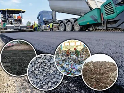
LiDAR technology and Digital Twins serve as the foundational backbone for modern smart cities and mega infrastructure life-cycle management by bridging the gap between physical reality and virtual optimization. LiDAR utilizes precise laser scanning to capture high-resolution, three-dimensional spatial data of complex urban environments and sprawling construction assets. This real-time, accurate geometric data is then injected into a Digital Twin—a dynamic, evolving virtual replica of the physical infrastructure. Together, this powerful technological synergy enables planners, engineers, and operators to simulate scenarios, predict structural failures, and optimize resource allocation from initial design through demolition. Consequently, integrating LiDAR with Digital Twins transforms traditional asset management into a proactive, data-driven ecosystem that enhances urban resilience, operational efficiency, and long-term sustainability.The following case studies signifies the importance of these technologies for project lifecycle management:
Case Study: Urban Flood Management
Project: Manipal Hospital, Kolkata
Kolkata’s low-lying terrain and intense monsoon downpours frequently threaten vital healthcare infrastructure with severe waterlogging and restricted emergency access. LiDAR technology provided a highly precise, data-driven framework for this flood management. Many interventions were proposed on the basis of technology driven flood modelling.Case Study: Digital Twin and Property Tax
Project: Urban areas of metro city
Digital Twin technology revolutionises property tax assessment in India’s Tier 2 cities by creating accurate, 3D virtual replicas of urban localities. By integrating drone surveys, GIS mapping, and satellite imagery, municipal authorities can automatically detect unrecorded properties, unauthorised floor extensions, and incorrect land-use classifications. This automation eliminates the leakages, manual errors, and corruption typical of traditional paper-based self-assessments. The technology ultimately maximises municipal revenue, reduces tax disputes through transparent data, and provides a scalable foundation for smarter urban planning.Case Study: Quantity Assessment
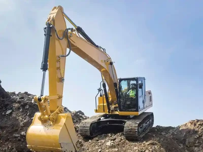
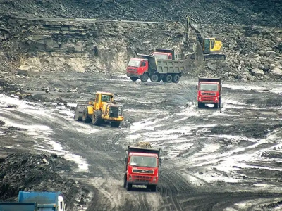
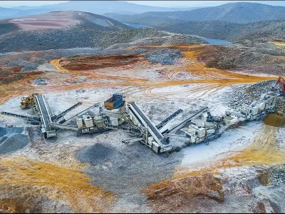
Project: Mining dump quantity assessment
LiDAR drone technology provides fast, safe, and highly accurate volumetric assessments of mining dumps. For one of the project in Rajasthan, dump quantity was measured by capturing dense 3D point clouds. This aerial method replaces slow, hazardous ground surveys, allowing operators to calculate exact material volumes and analyze slope stability in a fraction of the time.Case Study: Solid Waste Dump Management
Project: Bhandewadi solid waste dump in Nagpur
Deploying LiDAR and thermal drones at Nagpur’s Bhandewadi dump provides safe, accurate landfill management. The LiDAR sensor creates detailed 3D models to calculate the exact volume of remaining legacy waste and track biomining progress. Meanwhile, thermal imaging detects hidden subsurface hot spots and methane pockets before they erupt into surface blazes. Combining this data creates a Fire Vulnerability Index, helping city officials prevent toxic landfill fires and protect nearby residential areas.Case Study: Ganga River Basin Flood Management
Project: Kosi River Embankment monitoring
LiDAR technology uses drone or airborne lasers to map Kosi River embankments with centimeter-level precision. It exposes hidden risks like soil settlement, slope slumping, and underwater toe erosion that traditional monitoring misses. By feeding this exact 3D data into predictive hydraulic models, engineers can pinpoint weak spots and prevent breaches before they happen.Case Study: Tunnel Deformation Studies
Project: Itarsi Railway tunnel deformation measurement
Deformation measurement of the Itarsi Railway Tunnel (such as those in the critical, heavily transited Budni-Midghat section) using handheld LiDAR utilizes Simultaneous Localization and Mapping (SLAM) technology to detect structural movements, cross-sectional convergence, and lining deviations. Handheld LiDAR offers a rapid, non-contact alternative to traditional total stations, fitting easily into the short maintenance windows typical of Indian Railways.Conclusion
The integration of LiDAR technology and Digital Twins enables a shift from reactive to predictive infrastructure management by providing high-precision, real-time spatial data. Case studies, including flood modelling, structural monitoring, underwater/underground, mining applications, highway health assessment, development project monitoring, and resource assessment are also covered, demonstrating the framework's versatility in improving operational efficiency and urban resilience.
Published on:
29 June 2026
Published in: ICCT, May-June, 2026
Share:
We Value Your Comment