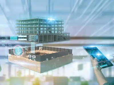
Point Cloud Survey
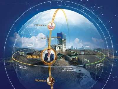
Mr. Ayanakanti Murali Babu
As the result of a 3D scanning process point clouds are used for many purposes, including to create 3D CAD models for manufactured parts, metrology/quality inspection, and a multitude of visualization, animation, rendering and mass customization applications.
While point clouds can be directly rendered and inspected, usually point clouds themselves are generally not directly usable in most 3D applications, and therefore are usually converted to polygon mesh or triangle mesh models, NURBS surface models, or CAD models through a process commonly referred to as surface reconstruction.
Geometric dimensions and tolerances can also be extracted directly from the point cloud. Point clouds can also be used to represent volumetric data
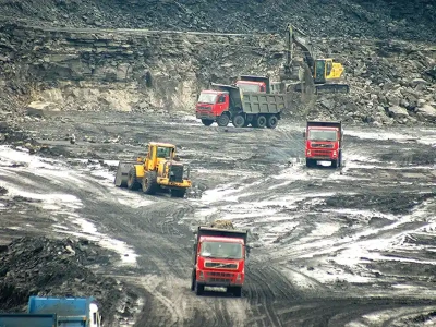
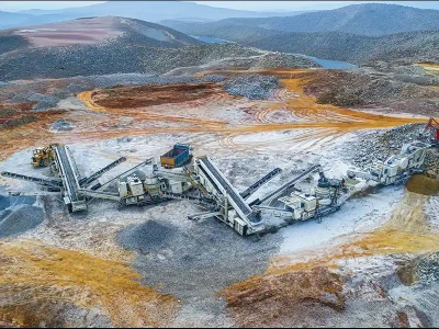
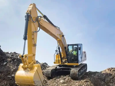
In geographic information system, point clouds are one of the sources to make a digital elevation model of the terrain. This technology is expected to take over conventional and modern methods of surveying using GPS, Total station, Auto levels etc... considerably. In the market now there are instruments available to pick up the cloud points. The only doubts expressed are about handling the huge data acquired by the instrument.
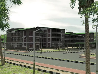
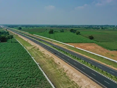
The cost of a point cloud survey is now roughly the same as a traditional 2D or 3D survey. It is extremely accurate and generates a 3D model from which unlimited 2D 'cuts' can be taken - som it surely, is the future.
With the digital model procured from point cloud, it becomes much easier for the road designer to understand the terrain and features, thus helps him in facilitating the design in much comprehensive way.
Mr. Ayanakanti Murali Babu is the road design, domain expert at eSurveying and has automated many processes related to road designing by using his rich exposure of designing national highway, rail, and road projects. With vast experience in preparing detailed project/feasibility reports pertaining to various types of roads projects Mr. Babu, has also been involved in several projects in the capacity of Project Manager, Highway Engineer, Chief Surveyor.
Published on:
14 August 2015
Published in: NBM&CW August 2015
Share:
We Value Your Comment