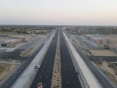
Issues Concerning The Geometric Design of Roads And Highways

Dr. Indrasen Singh, Dean, National Institute of Construction Management and Research, Goa
Introduction
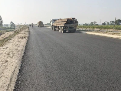
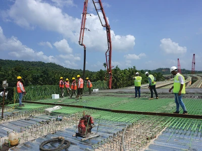
Basic design controls serve as the foundation for establishing the physical form, safety, and functionality of the transportation facility. Some design controls are inherent characteristics of the facility (e.g., its physical context and the existing transportation demands placed upon it). Other basic design controls are selected or determined by the designer, working with communities and users to address a project’s purpose and need. Selecting appropriate values or characteristics for these basic design controls is essential to achieve a safe, effective, and context sensitive design. Road having following element and their influence on the physical characteristics of a roadway or other transportation facility are:
- Roadway Context
- Roadway Users
- Transportation Demand
- Measures of Effectiveness
- Speed
- Sight Distance